
Europe 2011
Sablet: Mount Ventoux
| Mount Ventoux dominates north-western Provence, rising to some 1900 metres. There are three routes to the top, all steep and winding. It is often used as a stage in the Tour de France, and there were plenty of cyclists in May. We drove up from Malaucène in the west, then down eastwards to Sault, where we had lunch, returning along the Gorges de la Nesque. | ||
 |
As the road rises, it gets beyond the timber line and eventually there is nothing but loose scree. It looks really strange, and is difficult to photograph because everything is white. This is close to the summit with still a tiny patch of snow. * | |
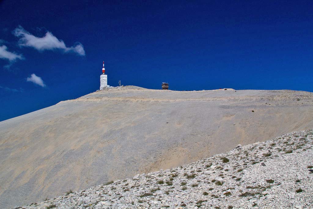 |
The summit as seen when approaching. * | |
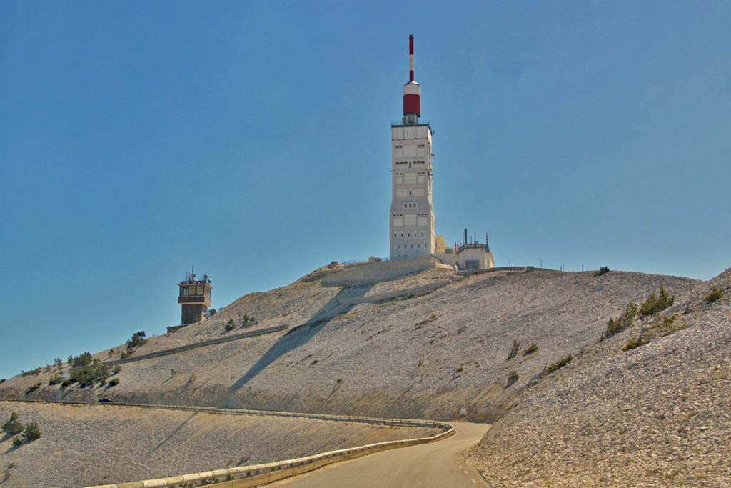 |
The communications tower at the summit, built to withstand winds of 250 km/h. * | |
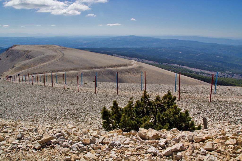 |
We were not sure what this marked run was: a ski run, perhaps? * | |
| Panorama of the view from the summit, looking north. † | ||
 |
In the far distance of that panorama is Mont Blanc, more than 200 km away. This photo is rather over-processed, but it gives an impression. * | |
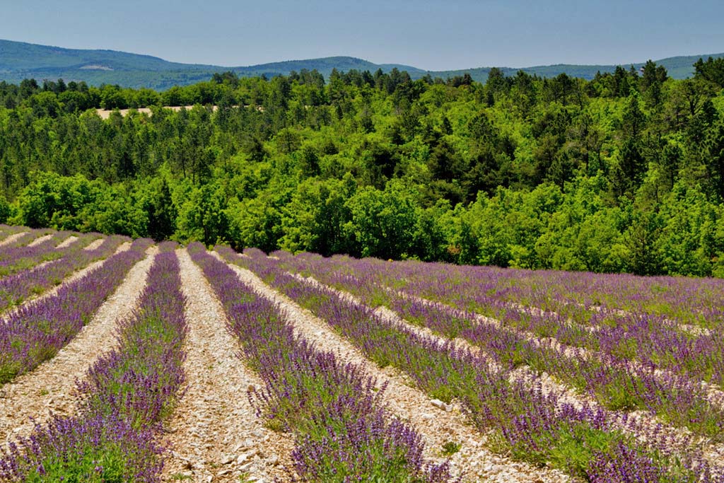 |
Coming down off the mountain towards Sault, we passed through fields of lavender. * | |
 |
Typical French countryside near Sault. † | |
| View from the terrace at Sault where we had lunch. † | ||
 |
Heading back west to return to Sablet, we went through some magnificent scenery in the Gorges de la Nesque. † | |
 |
The road was interesting to drive: you can see it curving along the gorge cliff in both photos. † | |
We spent an enjoyable morning in Malaucène on another day at its markets.
Copyright © 2011 by *Lynn Booth or †Nick Booth. Please contact us if you wish to use a photo.